Botanic Park
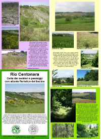
A map to make easier species recognition in a natural reserve
by Giuliano Vitali, Giulio Lazzerini (UniFI), Marco Vignudelli, Sergio Albertazzi, Gianfranco Fuzzi (Thesis 2008)
last version by Lorenzo Rocchi - Dic 2010.

A map to make easier species recognition in a natural reserve
by Giuliano Vitali, Giulio Lazzerini (UniFI), Marco Vignudelli, Sergio Albertazzi, Gianfranco Fuzzi (Thesis 2008)
last version by Lorenzo Rocchi - Dic 2010.
Putting identible species pictures in a park guide to recognise them at a glance can increase interest into botany and didactical efficacy
Behind multiple excursions when almost every species have been identified multiple similarity methods have been adopted to put their photos on the back of a map. Photo size, resolution and location have been identified carefully. The map is available in a size to be sel-printed over 4 A4 or 2 A3 size paper sheets. The study area is the Centonara basin, within the Park of Gessi (near Bologna - Italy).
Not all pictures are optimal for recognition nor are them optimally placed and each year new species are also showing up
The project has been carried on with the collaboration of P.Rossi Pisa, A.Vicari, C.Ferrari, D.Bianco, Az.Dulcamara, Rosanna Epifani